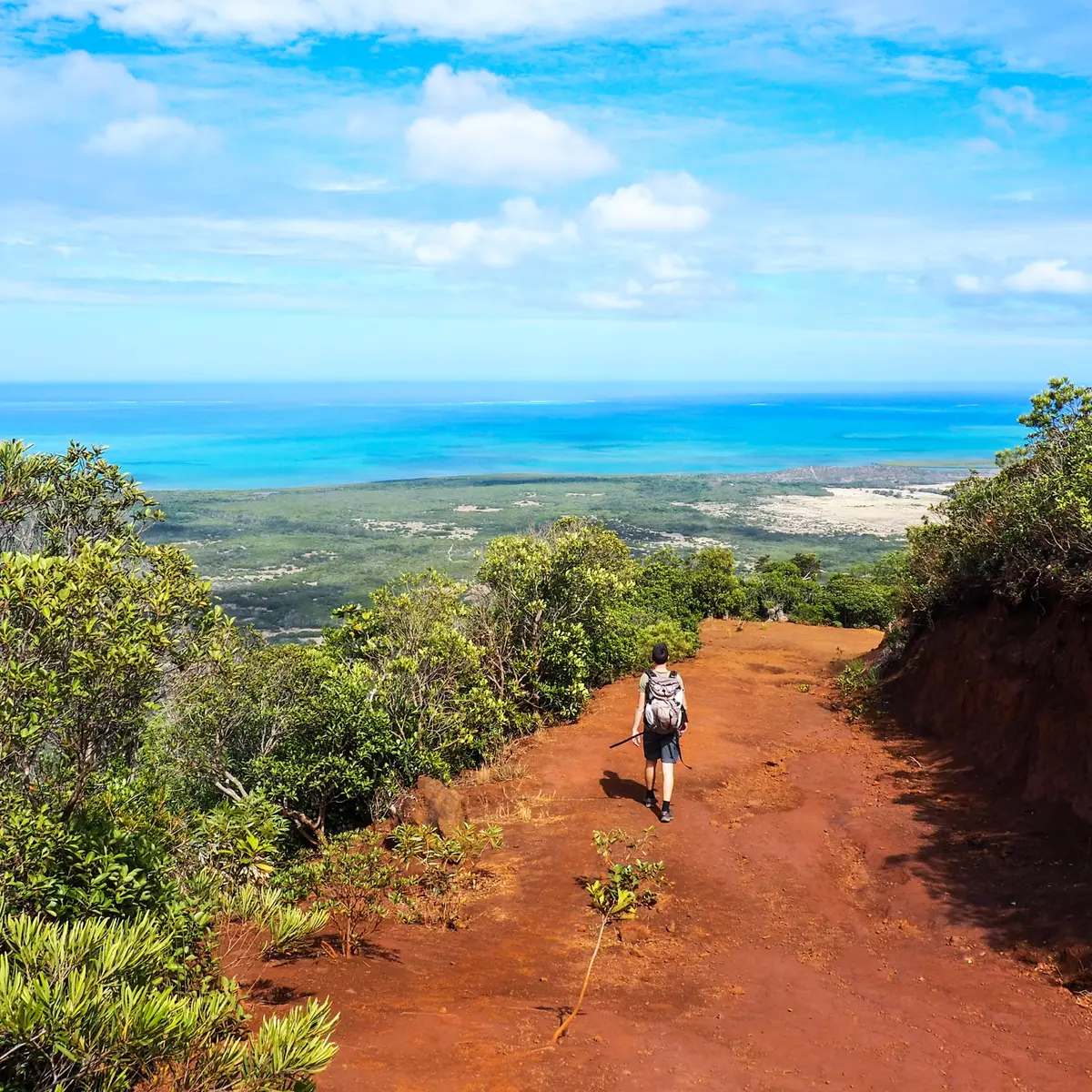
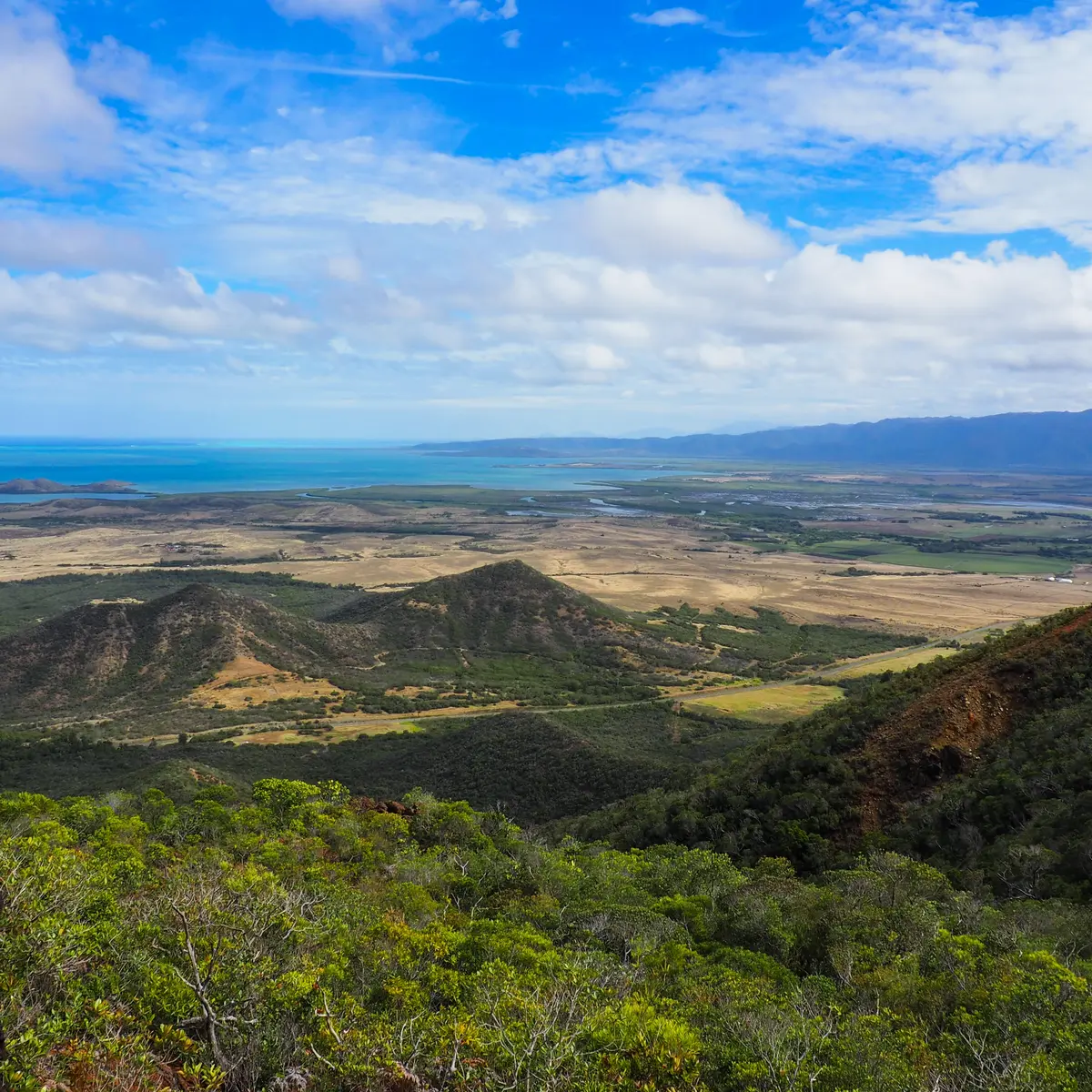
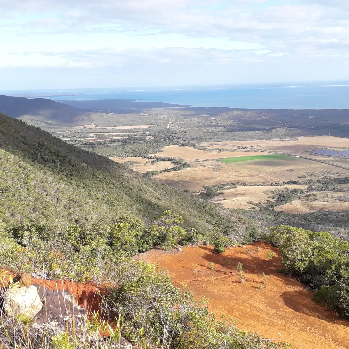
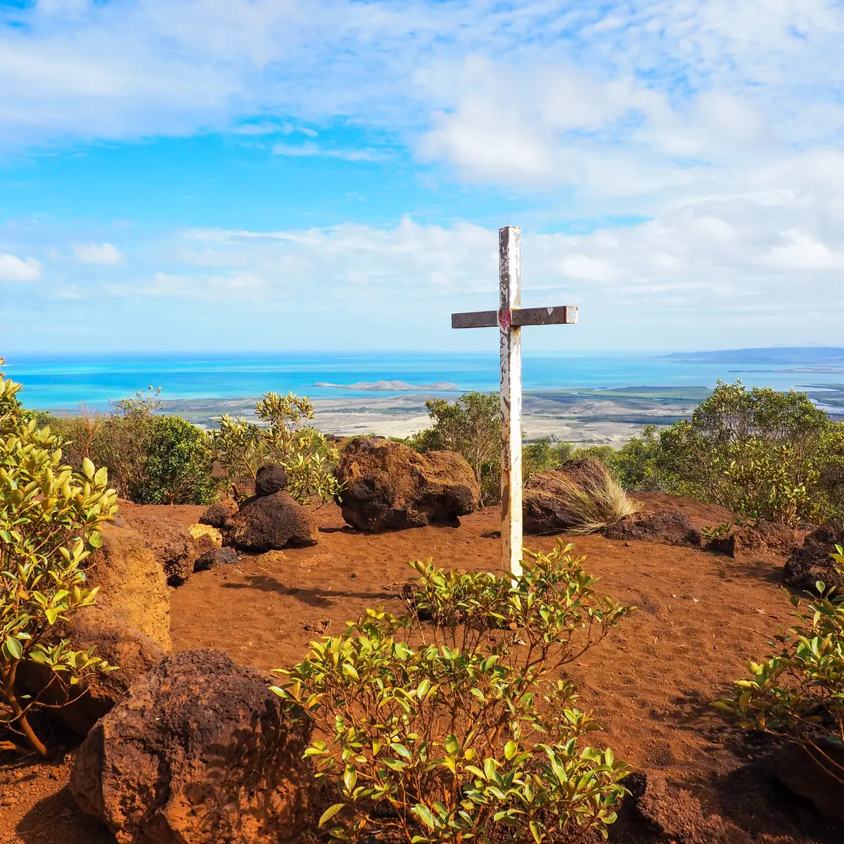
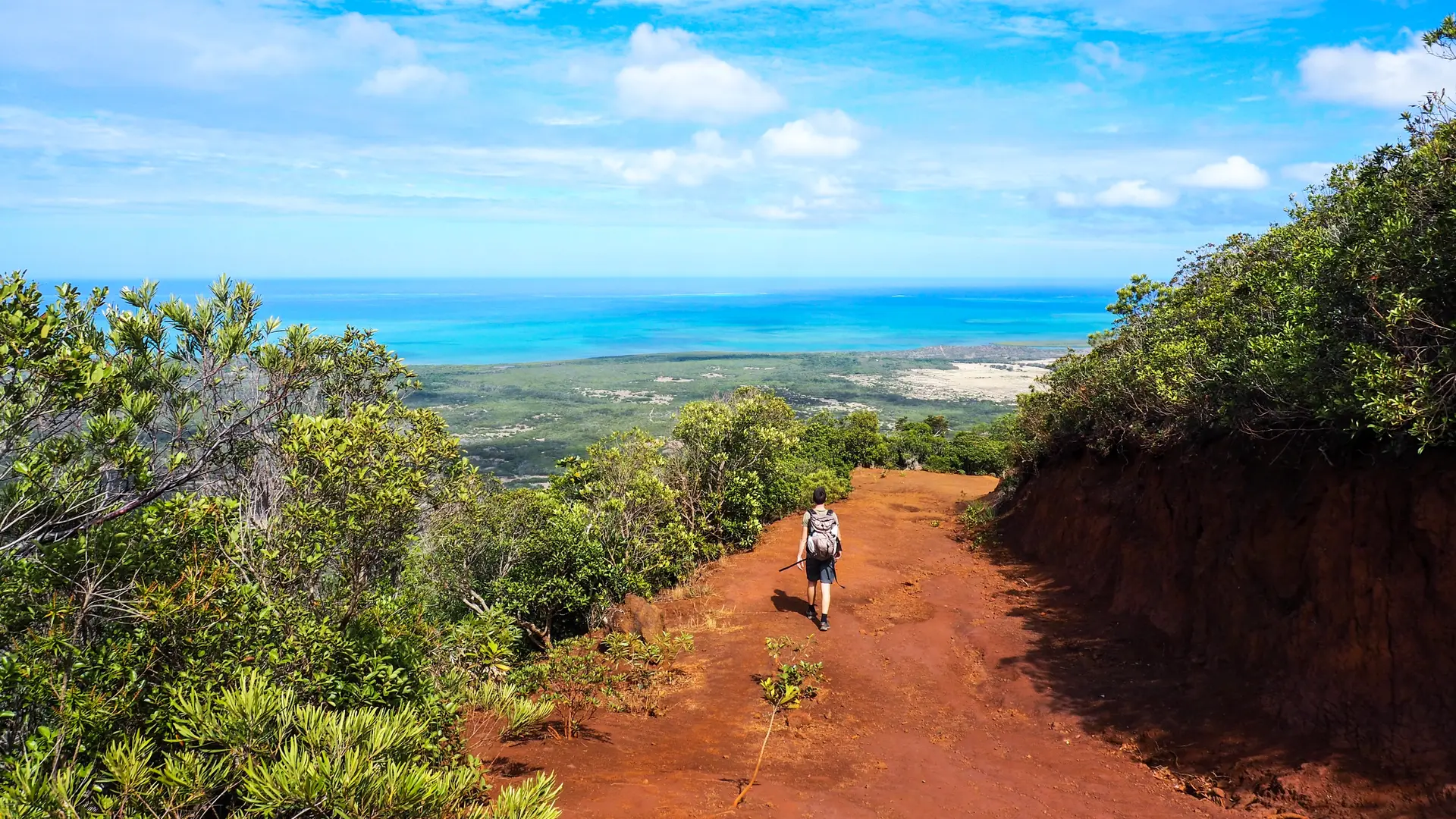
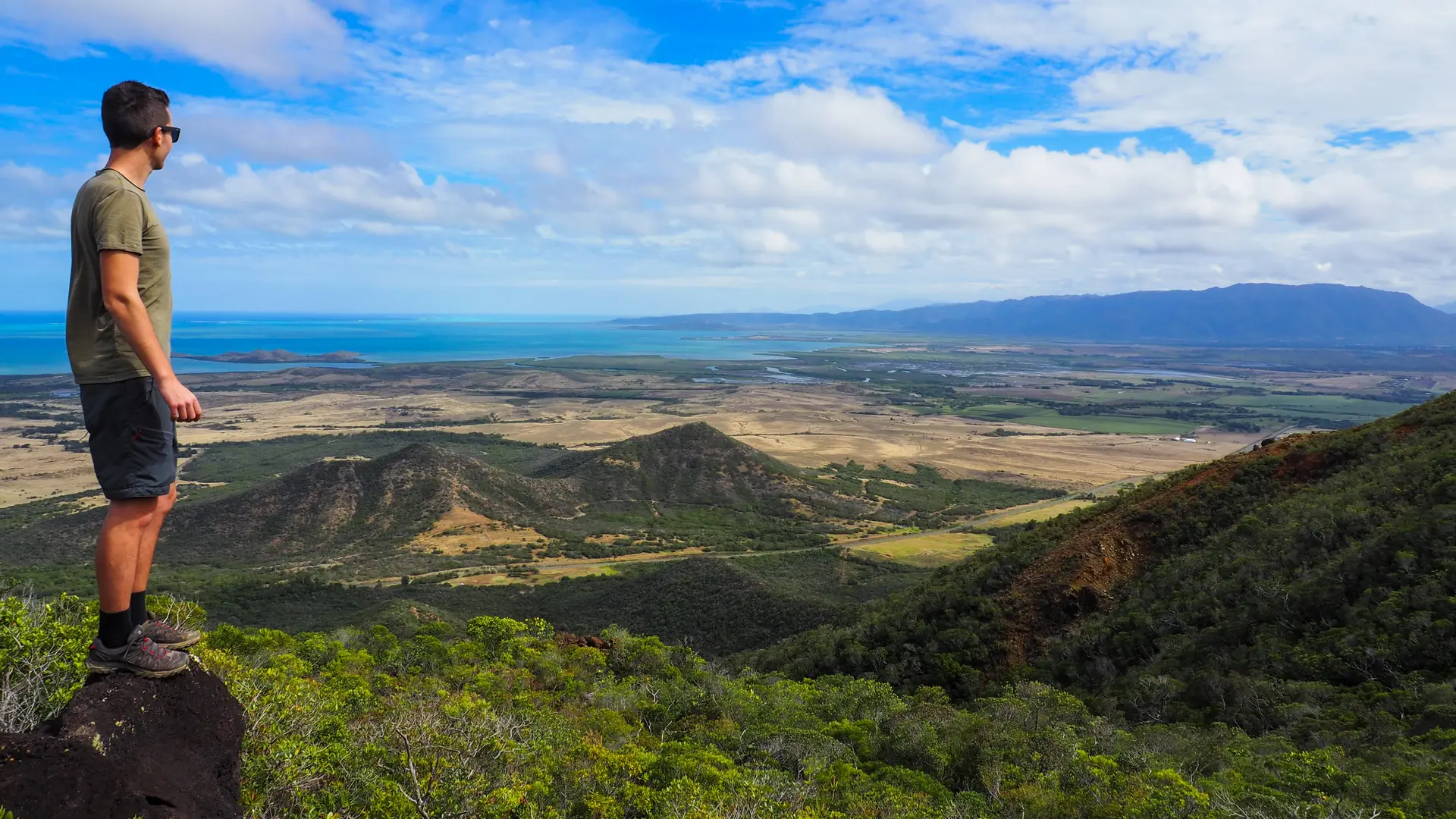
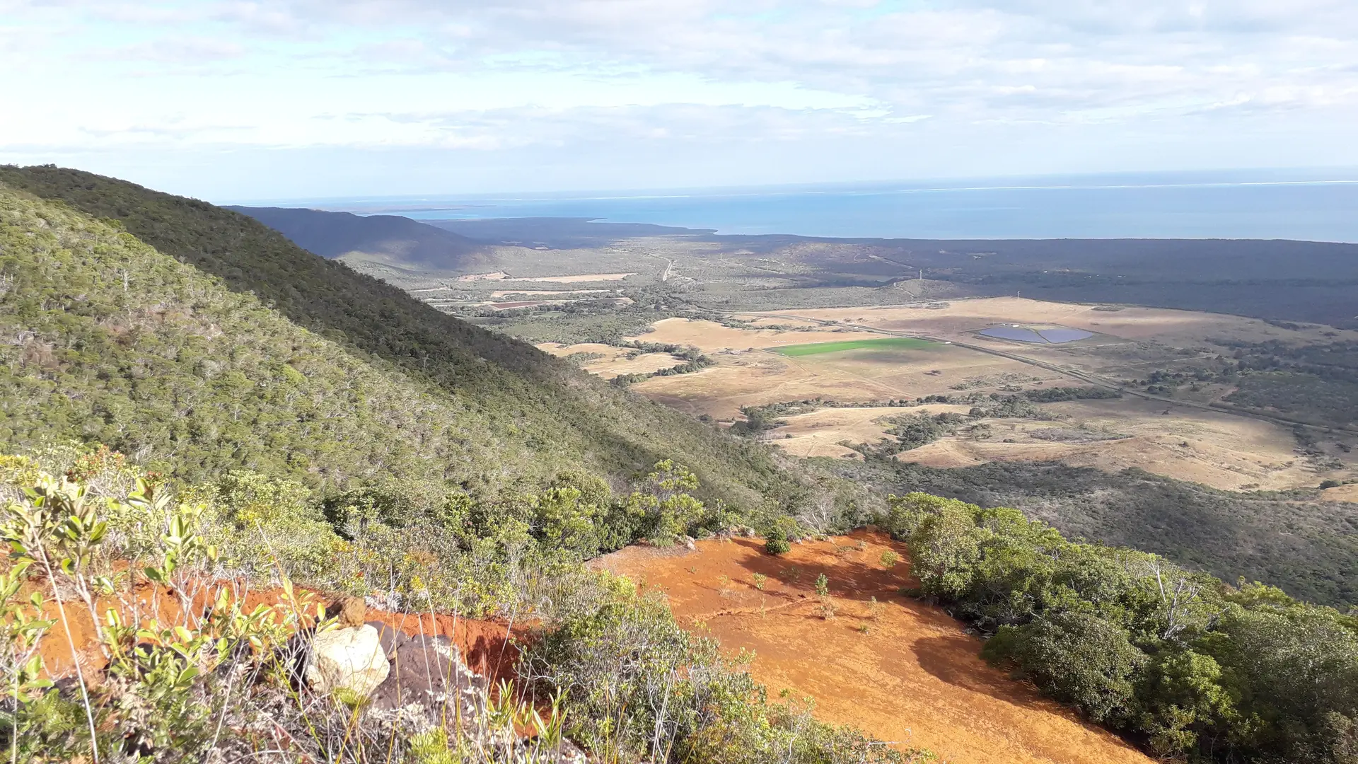
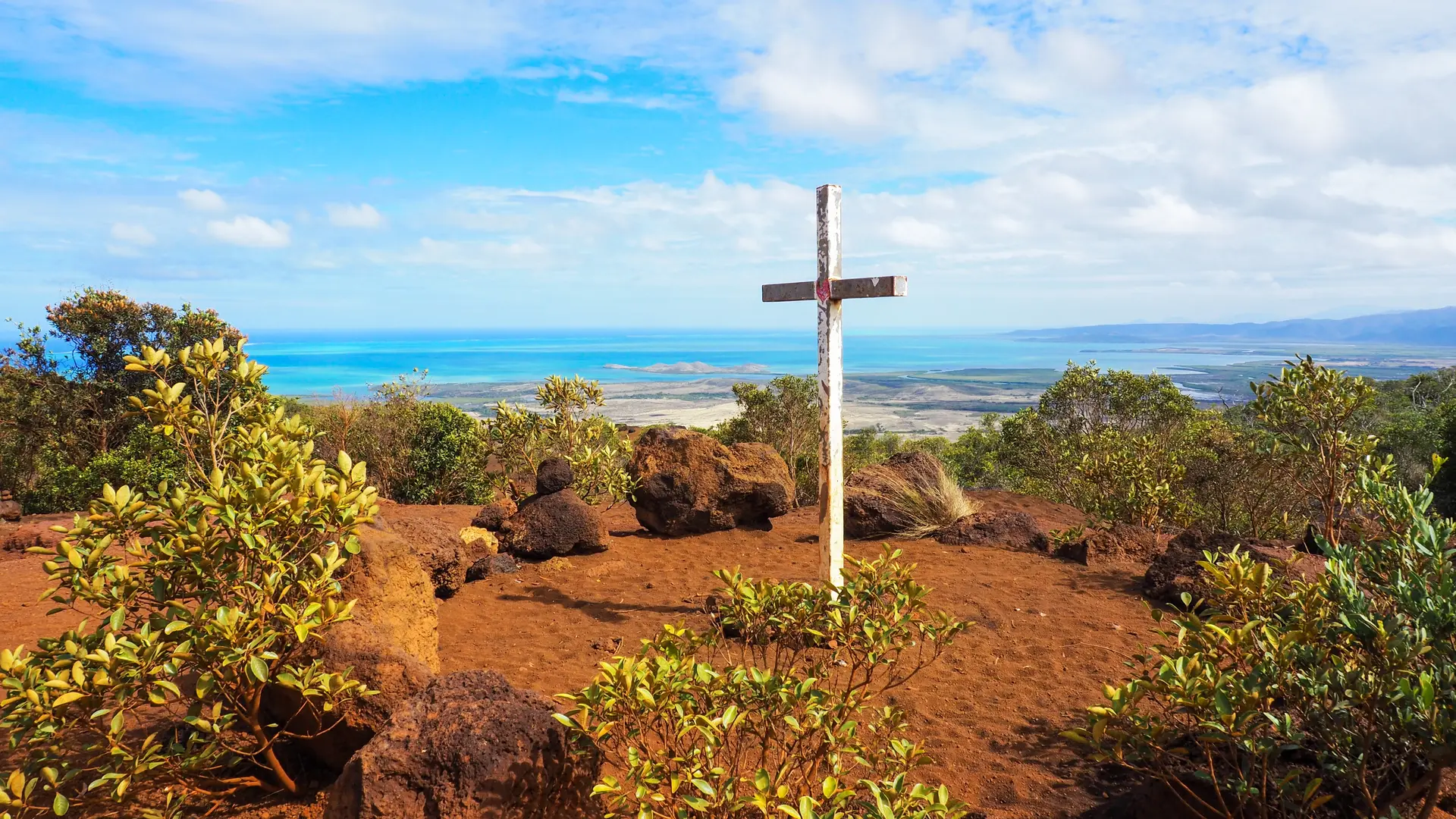
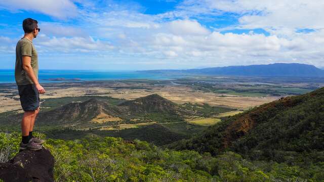
For experienced hikers, the plateau of Tia, located at the entrance of the commune of Pouembout, culminates at 415m of altitude. A progressive ascent, exposed to the sun, to discover spots and panoramic views on the Pouembout and Koné area.
To access it, you will have to take an entrance on your right, if you come from Poya, or on your left, if you leave Pouembout.
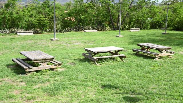
You will find an undeveloped space where you can park your vehicle.