The GR® NC1 experience
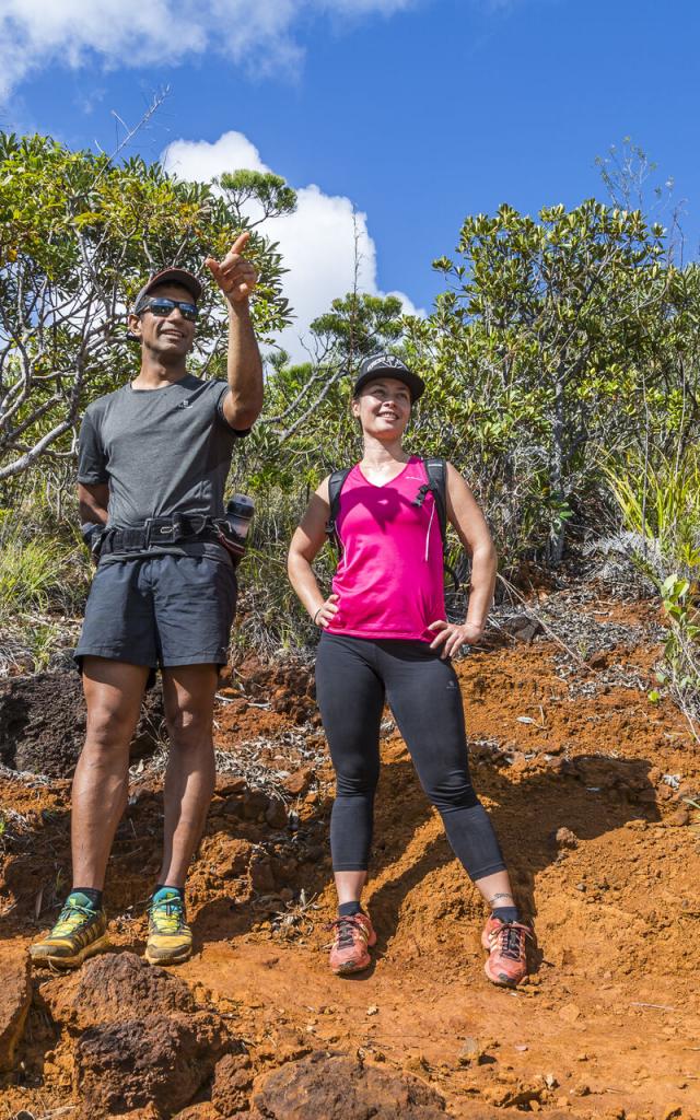
 Grand Sud Arnaud Elissalde
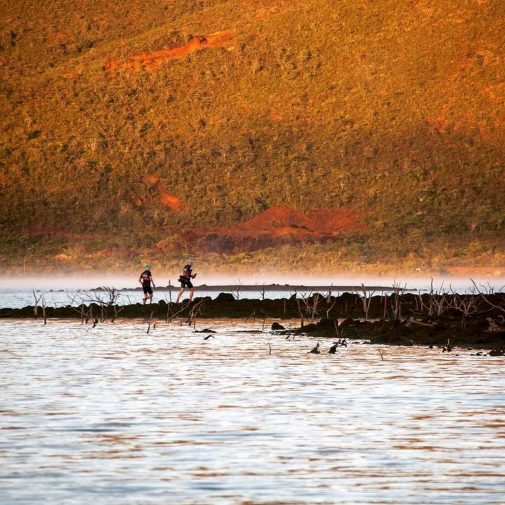
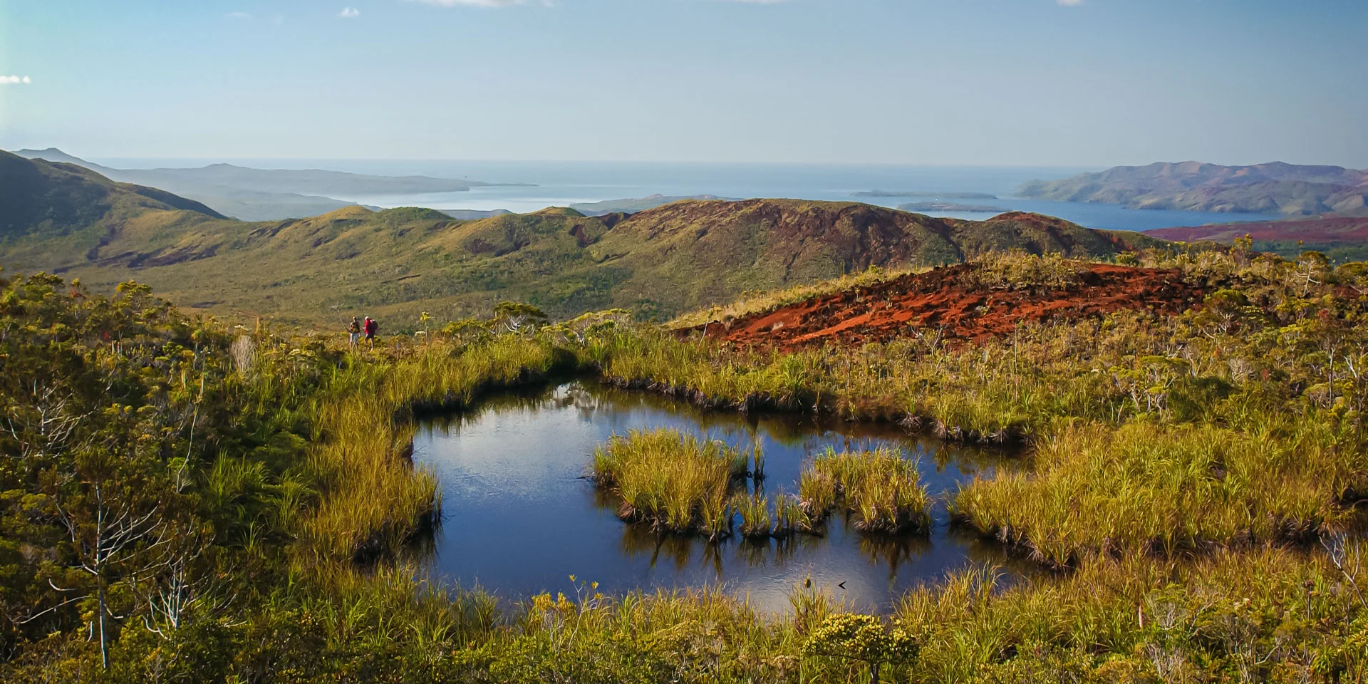 File name: DSC_0057.JPFile size: 2.8 Mb (2967962 bytes)Date: 2004/10/09 07:38:02Image size: 3008 x 1960 pixelsResolution: 300 x 300 dpiBit depth: 8 bits/channelProtect attribute: OffMask attribute: OffCamera ID: N/AApparatus: NIKON D1XQuality mode: FINMetering mode: MultizoneExposure mode: Aperture prioritySpeed Light: NoFocal length: 28 mmShutter speed: 1/640 secondAperture: F4.5Exposure compensation: 0 EVWhite balance: DaylightLens: 28 - 70 mm F 2.8Synchro-Flash mode: N/Exposure difference: 0.0 EVProgram Shift: NoSensitivity: ISO400Sharpening: StrongImage type: ColorColor mode: Mode I(sRGB)Saturation: 2Saturation control: N/Tone compensation: User-defined curveLatitude (GPS): N/ALongitude (GPS): N/AAltitude (GPS): N/AGrand Sud Arnaud Elissalde
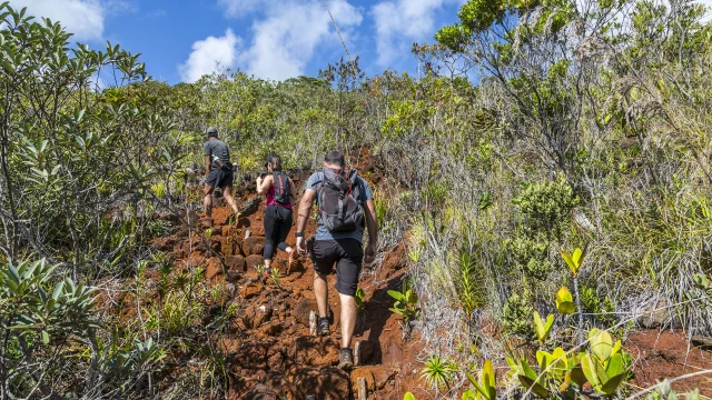 Hiking Elissalde Arnaud2
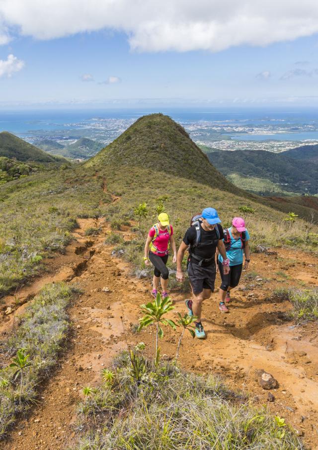
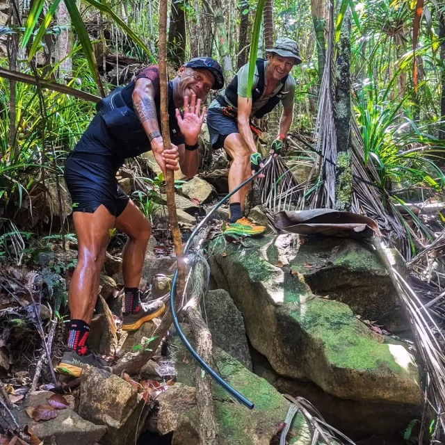
The GR® NC1 is not for the faint-hearted. These trails, particularly those weaving through dense forests, are specifically designed for seasoned hikers. The difficulty of the GR® NC1 lies in the long distances covered daily (ranging from 3 to 9 hours of walking per stage), steep gradients, and the remote nature of the route.
Proper preparation is crucial, as this trek requires complete self-sufficiency. Hikers must carry their own provisions, including an ample water supply. While there are refuges along the route, they cannot be reserved in advance. Some offer delightful water points where you can cool off or refill your bottles.
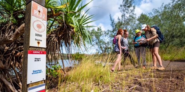
Although the full trail spans approximately 107.4 km, hikers have the option to tackle only certain stages instead of the entire route.
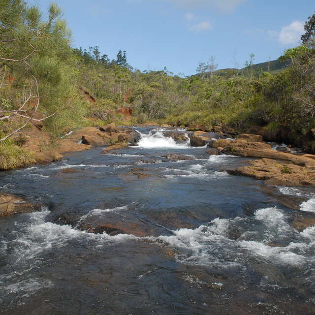
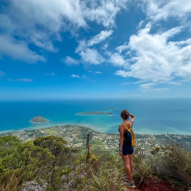
This tropical component naturally makes trekking in New Caledonia a unique experience. You’ll traverse the wide-open spaces of the south, lush rainforests, and the forests and savannahs of the north. Few places in the world offer such diverse environments for trekking, coupled with safety, well-developed infrastructure, and precise mapping.
 Stage 1 of the GR® Sud, Prony
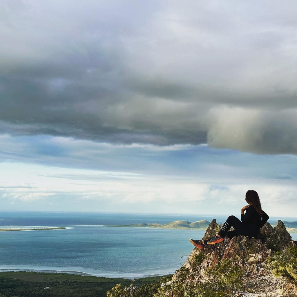
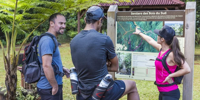 Hiking Elissalde Arnaud5
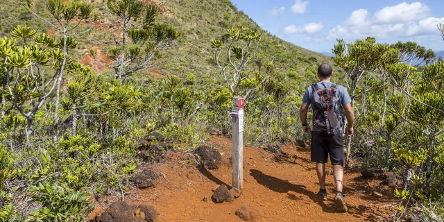 Hiking Elissalde Arnaud4
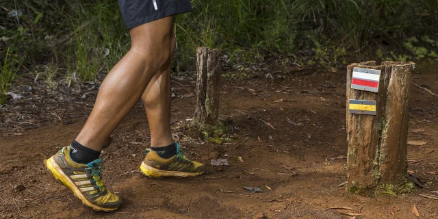 Hiking Elissalde Arnaud3
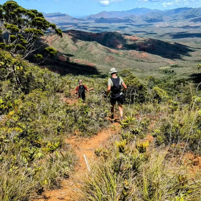
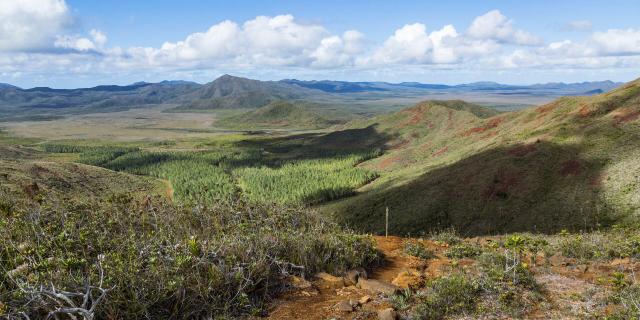 Hiking the GR® NC1 in New Caledonia
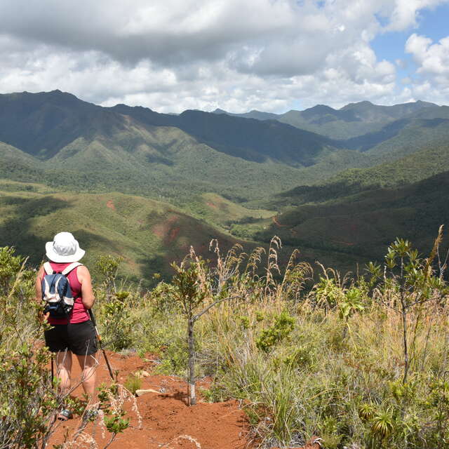
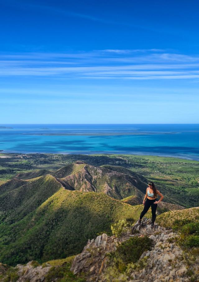
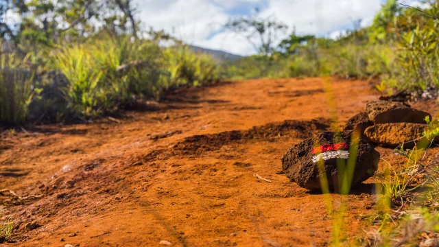
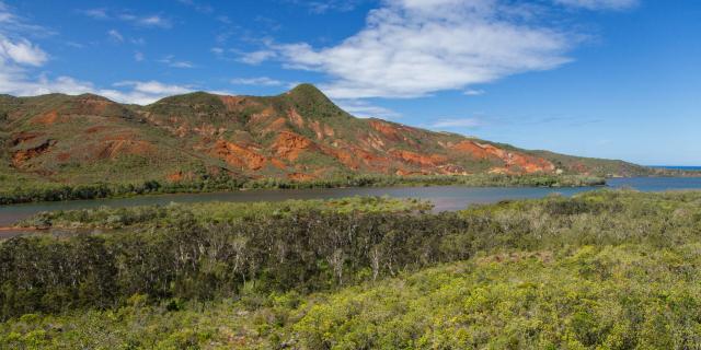 Landscape of the Deep South from the GR® NC1 in New Caledonia
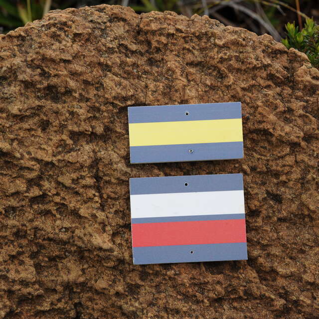
While the GR® NC1 trails are well-maintained, signposted, and open to all, hiking with a knowledgeable guide can greatly enhance your experience. A specialist can enrich your journey by sharing insights about the diverse flora and fauna that make New Caledonia so unique.
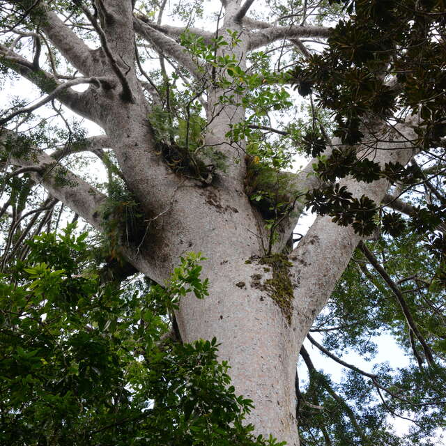
Along the way, you’ll encounter fascinating species such as gum oaks, majestic kaoris, carnivorous plants like Drosera neocaledonica and Nepenthes vieillardii, as well as iconic wildlife including cagous and notous. A guide can help you spot and identify these treasures, offering opportunities to admire and photograph them.
What’s more, a guide can bring the trail to life with legends and anecdotes that shape the history of Southern New Caledonia, while answering your questions as you trek through this breathtaking landscape. It’s a chance to deepen your connection with the land and its stories.
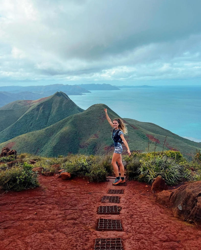
 Hiking on the GR® Sud
1. Stage 6: A Favourite for Adventurers
The stretch from the Tristaniopsis Refuge to the Mine Soleil or Sun Mine is undoubtedly our top pick! While the route demands effort—particularly the challenging Corne du Diable (Devil’s Horn) section—the breathtaking scenery makes it worth every step. Reaching the finish line will leave you feeling accomplished and exhilarated.
2. A True Taste of Solitude and Adventure
The sense of isolation on this demanding trail adds an authentic flavour of adventure. For instance, stages 6 and 7 are best completed consecutively, offering an experience that isn’t possible on a standard day hike. It’s a genuine challenge, culminating in a rewarding bivouac at a refuge.
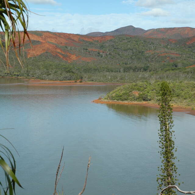
3. Immersion in Stunning Southern Landscapes
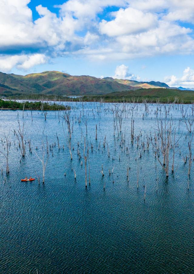
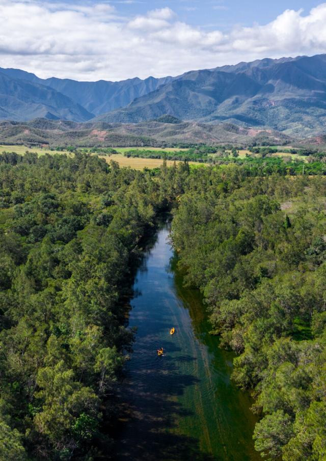
From the red earth and sprawling rainforests of the Great South to iconic spots like the Blue River Provincial Park and Dumbéa, this trail delivers a stunning variety of terrains. Combined with excellent infrastructure and precise maps, the GR® NC1 offers a hiking experience unlike any other in the world.
4. Comparable to the Best Trails Worldwide
With stages as challenging as those on La Réunion’s cross-island trek or Corsica’s GR 20, this trail is an ideal sporting adventure for seasoned hikers and trail runners looking to push their limits.
5. Self-Sufficiency Required
Completing the GR® NC1 requires you to be entirely self-sufficient with food and water, making it a trek suited for those who are prepared and experienced in wilderness hiking.
6. Opportunities for Competitive Challenges
Several sporting events are organised along the GR® NC1, allowing participants to tackle specific stages and experience the route in a competitive or communal setting.
Train by walking long distances with some elevation gain while carrying a fully packed rucksack. The Dogny Plateau is an excellent practice ground. Always check the weather forecast before starting your trek. Spending a night in a bivouac or camping in the Blue River Provincial Park is a great way to acclimatise to night-time temperatures and test the essential equipment you’ll need for the journey.
Pack ample food and water, lightweight but warm clothing for the night, a sleeping bag, a headlamp, and a first-aid kit.
You can reach the trailhead by hire car or by using Toutazimut’s logistical assistance service.
The ideal time is during the cool season (May to October), when the weather is mild and sunny—perfect for hiking without the discomfort of tropical heat. If you’re trekking in July or August, make sure to bring warm clothing, as the nights can get chilly.
Dans la Jungle Calédonienne 🤣 #trailrunning #newcaledonia
✅ BALLADE 😉 #trailrunning #newcaledonia
Partez à l’aventure sur les sentiers du Mont-Dore. Une vue imprenable vous y attend ! 😍 Go on an adventure on the trails of Mont-Dore. A breathtaking view awaits you! 😍 📸 morganexplorer #SudTourismeNC #newcal #newcaledonia #noumea #nature #explorer #island #pacifique #pacific #paysage #landscape #nature #photography #naturephotography #landscapephotography #photo #travel #naturelovers #photooftheday #voyage #sunset #photographie #picoftheday #photographer #montagne #montdore #hiking #randonnée