Mine du Mois de Mai Trail

  • Sport
  • Pedestrian sports
  • Hiking itinerary
Elevation : 404m
1 route du Pont Pérignon,, 98834 Yaté
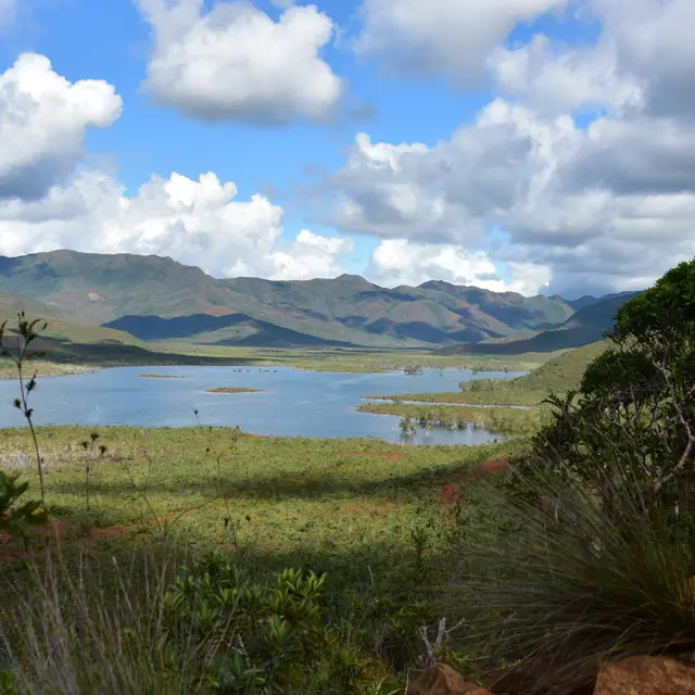
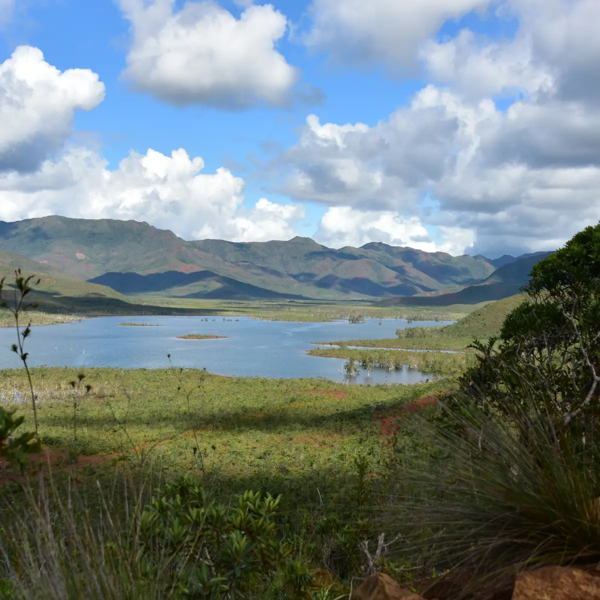
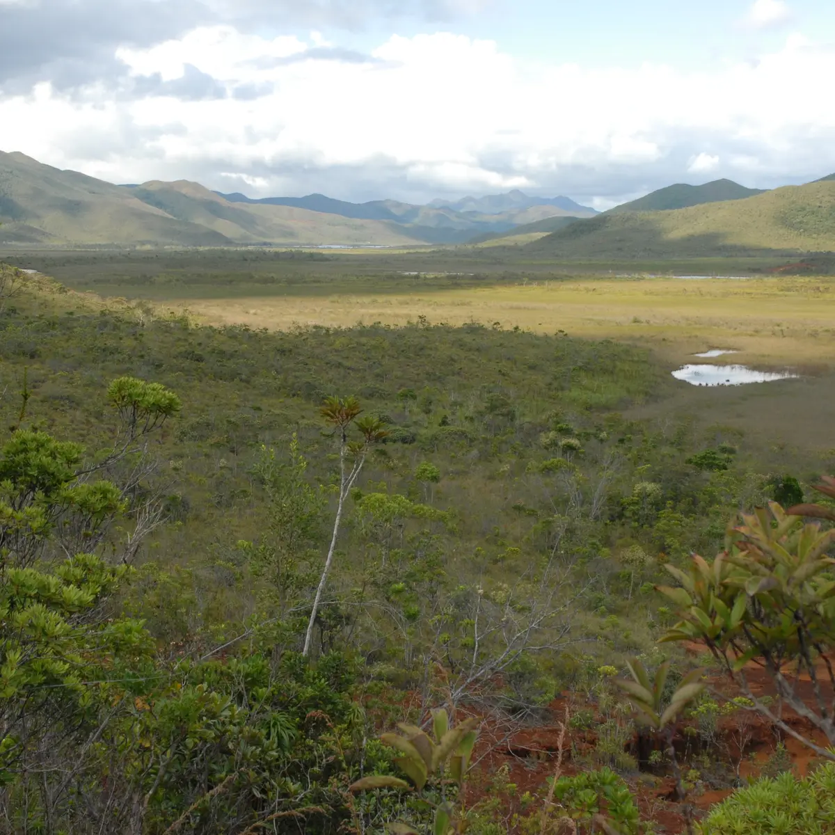
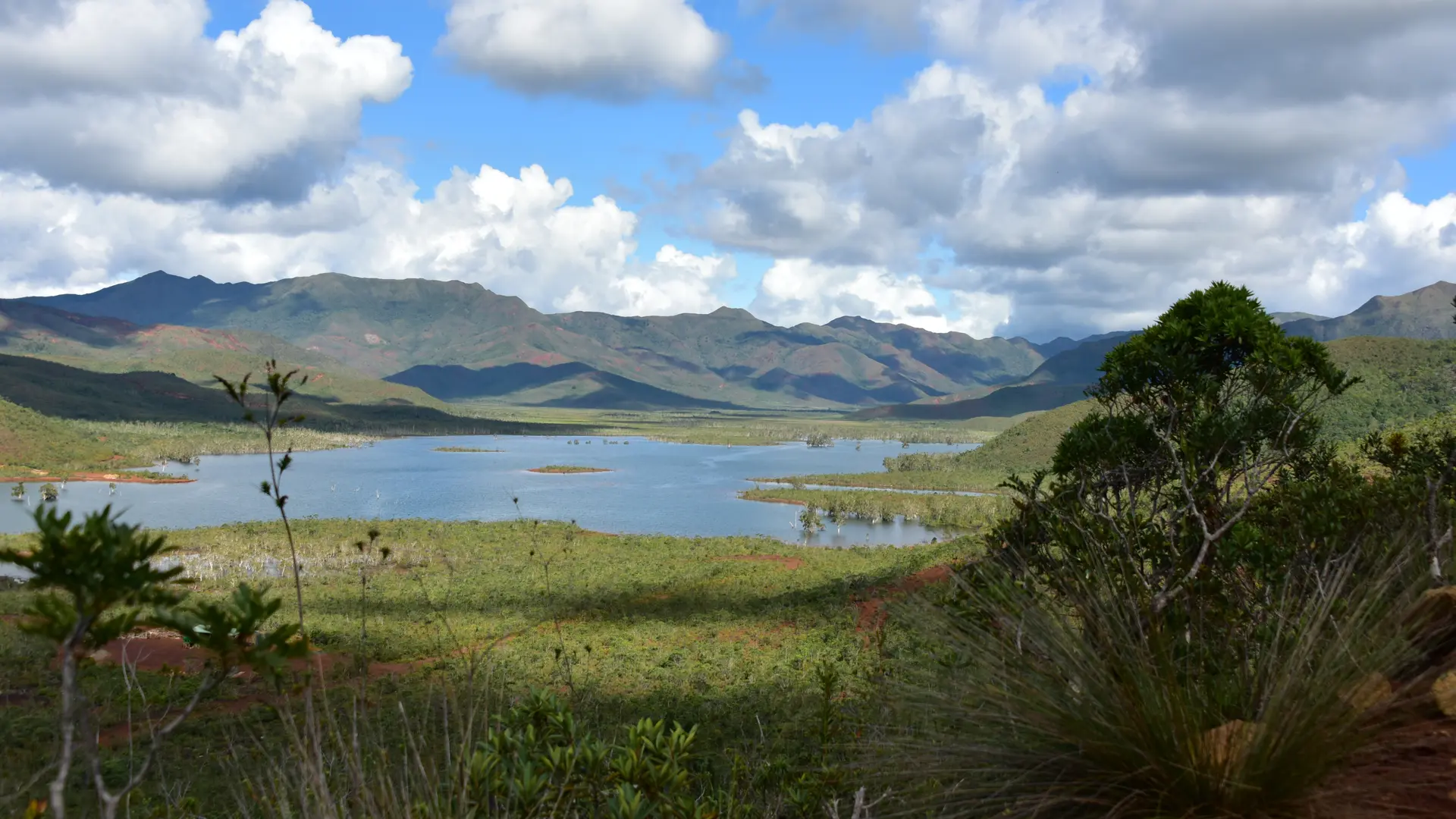
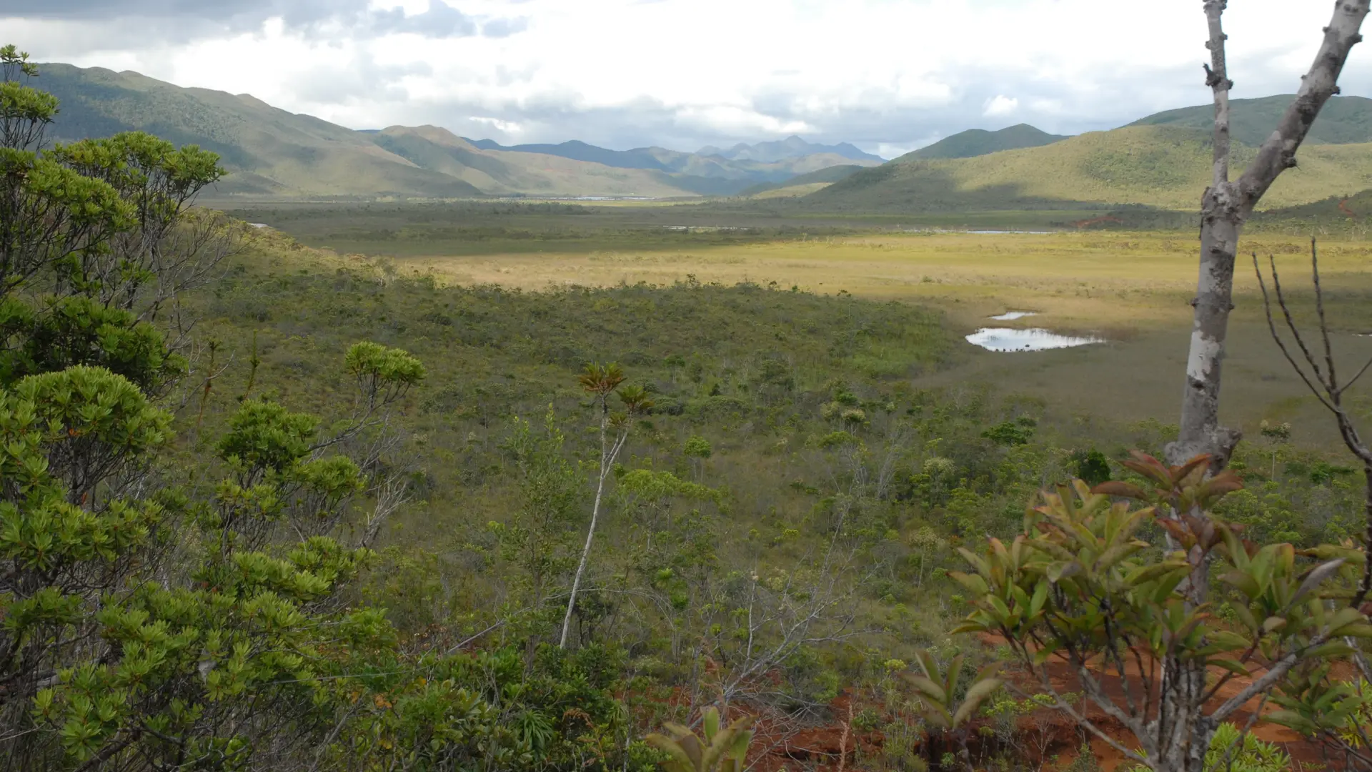
This route leads to the site of a small chromite vein exploited at the beginning of the last century. Remains of the aerial ferry are still visible. It goes along mainly under vegetation cover. Some beautiful viewpoints on the surroundings.
FFrandonnée® grading
* Effort: IBP 39 Fairly easy (light blue)
* Technical difficulty: Fairly easy (light blue)
* Risk: low (green)
* Overall score: Fairly easy (light blue)
Plain text period
From 02/01 to 31/12/2026 on Wednesday, Thursday, Friday and weekends between 7.30 am and 5 pm.

Services

Services

Car park
Public WC
Sustainable development
Outhouse
Picnic area

Environment

Environment

  • Forest location
  • Lake view
  • Mountain view
  • Mountain location
  • Close to GR footpath
  • Pond within 5 km
  • In a nature reserve
  • Panoramic view
Updated on 09 January 2026 at 14:08
by Sud Tourisme Nouvelle-Calédonie
(Offer identifier : 5532017)
Report mistake
Close
Filter search
Filter search
  • Tourist Offers
  • Business Offers
Page types
  • All
  • Articles
  • Agenda
  • Lists