TRAIL DESCRIPTION
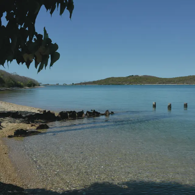
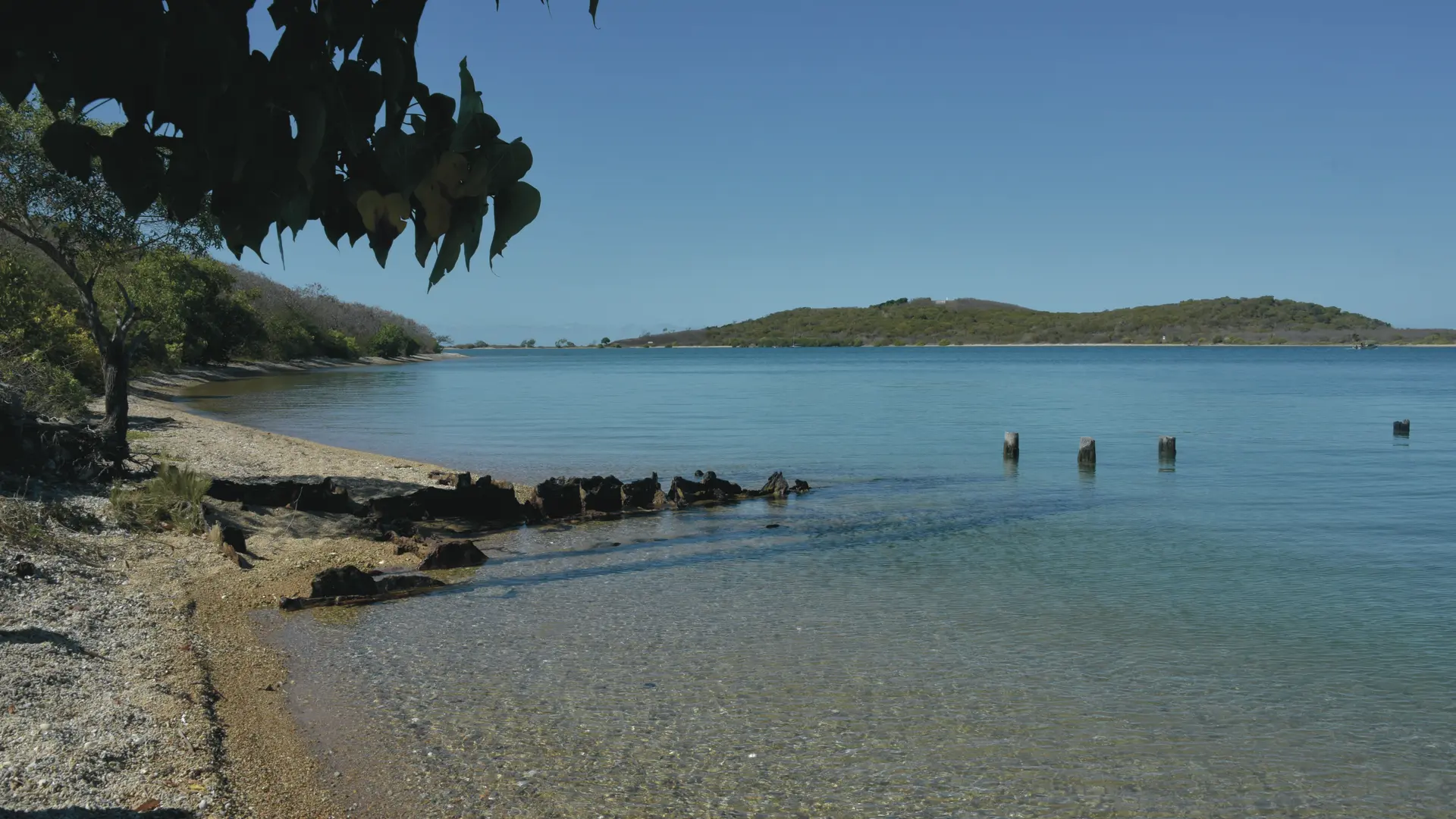
D - Start (652 231 - 7 532 308; alt. 1 m) : from the old wharf (visible remains on the beach), head east. The trail follows the former track used to transport silica from the quarry to the wharf.
1 - Junction (652 550 - 7 532 048; alt. 22 m) : bear slightly left, heading north. Pass a picnic table beside the path and reach the site of the old silica quarry. Follow the base of the small white cliff (former extraction area, information panel), then take a wide switchback to emerge at the top of the old quarry. Continue north.
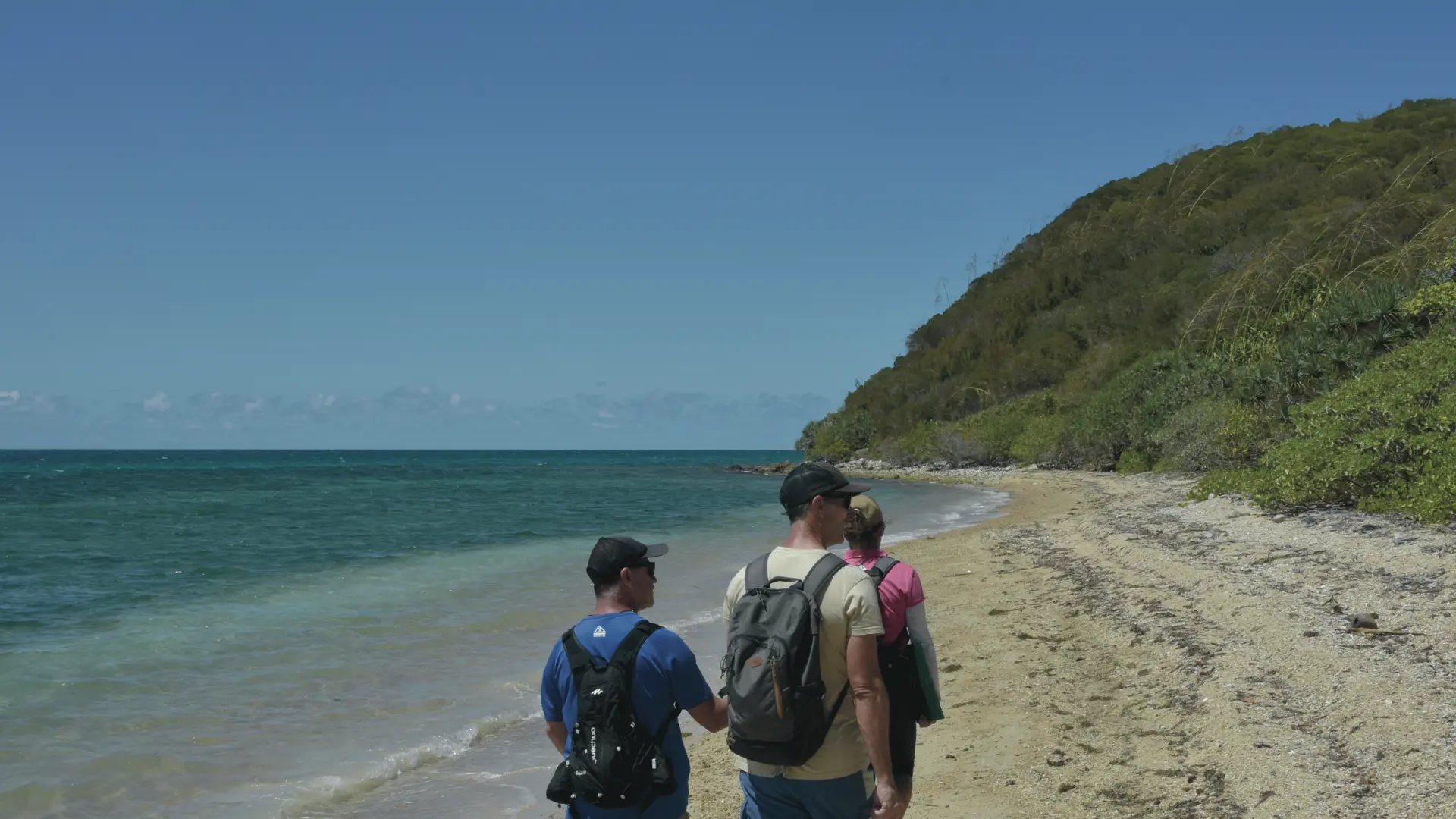
2 - Junction (652 599 - 7 532 295; alt. 55 m) : straight ahead, the path heads toward the high point of the route (alt. 62 m) (occupied by a clearing that limits the view). Return to point 2 and descend through open forest down to the seashore. At the end of this section, steps carved into the ground allow you to cross the embankment and reach the beach.
3 - Beach (652 807 - 7 532 381; alt. 1 m) : turn left and follow the beach north for 250 m.
4 - Beach (652 898 - 7 532 587; alt. 2 m) : turn left to leave the beach and climb toward a small pass in the dry forest.
5 - Junction (652 717 - 7 532 672; alt. 24 m) :
• To head north, turn right.
• To return to the start (Da), turn left.
6 - Junction (652 736 - 7 532 712; alt. 11 m) :
• To reach the seashore, turn left and walk about 100 m (Db; 652 698 - 7 532 759; alt. 1 m) (information panel).
• Continue north to reach a geodetic point (PG; 652 698 - 7 533 122; alt. 41 m) (information panel).Geodetic point: a point established on the ground, marked and permanently identified by a stable marker: pole, benchmark, plate, concrete block, sighting target, etc. These points form the “physical skeleton” of the territorial geodetic system. They are used for topographic, cadastral, road/utility, cartographic and other surveys.The trail then turns west.
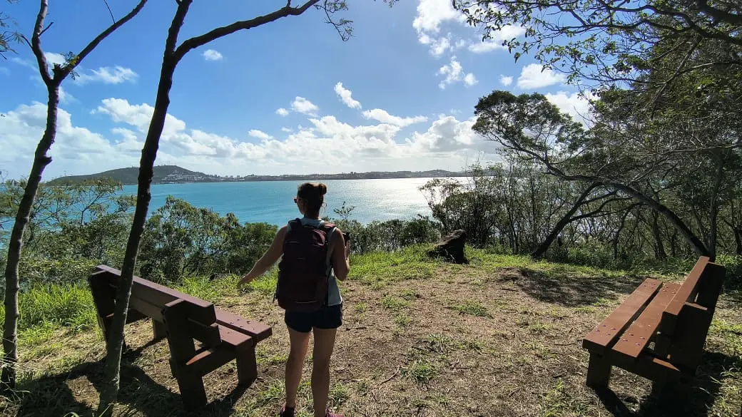
7 - Viewpoint (652 850 - 7 533 164; alt. 30 m) : the entire Sainte-Marie Bay comes into view (sandbanks).
8 - Junction (652 753 - 7 533 483; alt. 5 m) :
• To reach the RFO Wharf (Dc), turn left (a maintained shortcut leads directly to point 10).
• To go to the old antenna site, turn right following the former track that started from the wharf.
9 - Antenna site (652 926 - 7 533 390; alt. 18 m) : before reaching the antenna site, turn left (in the 1970s, the island received antennas intended for Radio Nouméa, which later became Nouvelle-Calédonie 1ère. The site is now closed).
10 - Junction (652 852 - 7 533 574; alt. 14 m) : the trail descends gently north-north-west, crosses a small vegetated ridge. It skirts a marsh to the east before reaching a beautiful beach on the north side of the islet.
11 - End of the trail (652 543 - 7 534 435; alt. 1 m) : return is by the same route back to point 5, where an alternative path leads directly to the starting point (Da).
© Text : Delphine & Jean Francis Clair
Instructions
Fire has catastrophic consequences on natural environments.
Litter spoils the landscape and attracts rats, which are formidable predators of birds and reptiles.
Please take your trash away with you.
I pack it in, I pack it out!)
FFRandonnée® rating:
Effort (22): 1 — Easy
Technical difficulty: 1 — Easy
Risk: 1 — Low
Read more