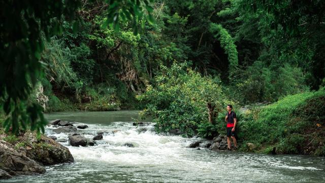
 The Tchamba hiking trail
 Hiking in the mountains in Poum
Top hiking trails
in New CaledoniaHiking
in New Caledonia The Tchamba hiking trail
New Caledonia boasts an array of meticulously developed trails for hikers. Whether you’re exploring routes in natural parks, tackling demanding treks, or following provincial paths, each experience brings you closer to the elements that define New Caledonia’s reputation. Did you know that the South Province offers over 60 marked hikes and boasts two GR® trails? Many areas benefit from ambitious preservation policies, so it’s crucial to be aware of and respect the regulations of the trails you traverse.
GR® NC1
Yaté - DumbéaDivided into seven stages, the Grand Sentier de Randonnée du Sud leads you from the historic village of Prony to the peaks of the Central Range in Dumbéa. Passing through Yaté, Mont-Dore, and Dumbéa communes, the GR® Sud takes you to iconic sites like the Blue River Provincial Park, the Natural Park of Dumbéa, the Chutes de la Madeleine reserve, and Prony village. These seven stages offer a glimpse into the incredible biodiversity of the Great South, with a blend of mining history, vast southern landscapes, red earth deserts, and lush rainforests.
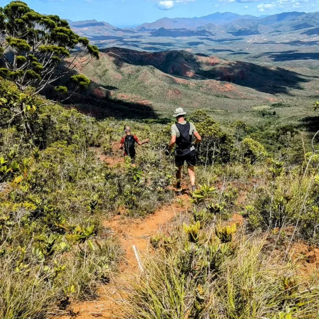
This tropical component naturally makes trekking in NC a unique experience, in the wide open spaces of the South, in the rainforest, and in the forests and savannahs of the North. There aren’t many places in the world where it’s possible to trek in these environments in complete safety, with good infrastructure, and precise mapping.
Particularly athletic, the GR® Sud requires careful preparation. Although the total is close to 107.4 km, it is possible to complete only one or several stages of the route. You’ll be walking completely autonomously, so you’ll need to bring your own supply, including reserves of water. Stage refuges are not bookable. Some offer pleasant water points for refreshment or refilling water bottles.
Mont-Dore trail
by the corniche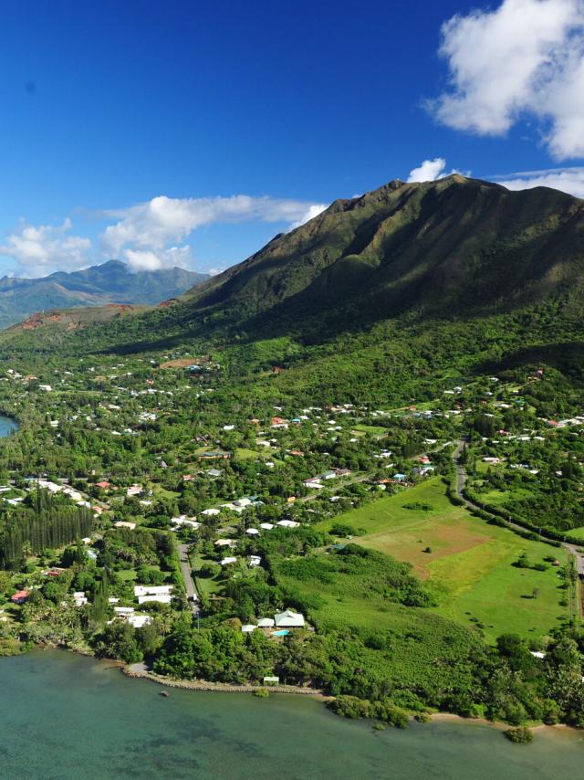 Mont-Dore
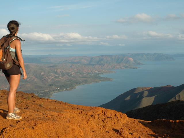 Mont-Dore hiking trail
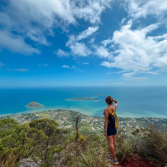
To combine physical effort with majestic sea and mountain scenery, take the sentier du Mont-Dore! This 7.3 km hike to an 800-metre summit offers breathtaking views of Nouméa, the lagoon, and the Great South. Ascend via the spectacular ridge to the southeast of the massif. Don’t forget sun cream and plenty of water for protection against the strong sun.
Cap N'Dua trail
Yaté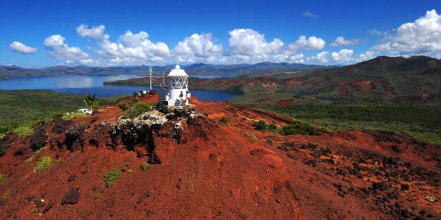 Cap N'dua Nature Reserve, Grand Sud
Explore the 830-hectare Cap N’Dua natural reserve, linking Anse Majic to the lighthouse regulating navigation in the Havannah Channel. This 4.5 km hike offers panoramic views of the Grand Lagon Sud and, on clear days, the Isle of Pines. The area is also a prime spot for whale watching from July to September.
Dipodium trail
YatéThis 12 km route in the Blue River Park follows former mule trails, offering vistas of South Caledonia’s diverse landscapes and Rivière Bleue valley. With a duration of 4.5 hours, it’s suitable for those in good physical condition.
Great Ferns trail
FarinoExplore altitudes ranging from 400 to 700 metres in this park, offering 40 km of marked trails. Discover panoramic views, coursing waterways, rainforests, and niaoulis. The trail map, available on the park’s website, guides you through routes of varying difficulty.
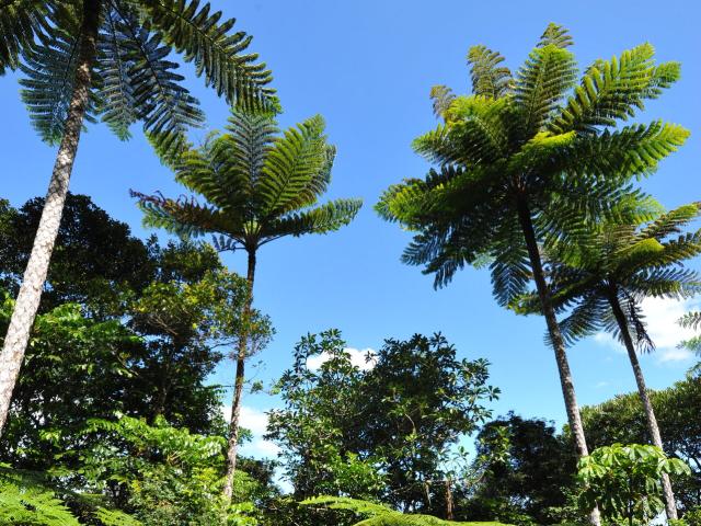 Biodiversity at Grandes Fougères Park in New Caledonia
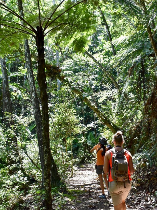 Parc des Grandes Fougères, Farino
Boé Arérédi trail
Bourail Hiking on the Boé Arérédi trail, Bourail
Meander through tall grasses and niaouli savannahs in this 4.5 km trail. Enjoy stunning vistas of the Poé pass, a UNESCO World Heritage-listed turquoise lagoon, from the trail’s highest point. The site is also home to diverse bird species.
Plateau de Dogny
SarraméaThe Plateau de Dogny hiking trail in La Foa region boasts a 1,000-metre vertical drop and a 3-hour ascent to an altitude of 1,065 metres, offering magical views of New Caledonia’s coasts. Waterholes and cascades punctuate the lush vegetation, with a refreshing swim at Cuve de Sarraméa at the hike’s end.
Tip: take a small picnic basket with snacks, as the hike lasts a total of 7 hours!
Three Bays Trail
Bourail Group on the Trois Baies trail in Bourail
 Baie des Tortues and Bonhomme de Bourail
Close to Le Bonhomme, this 4 km trailfrom La Roche Percée in Bourail is relatively easy and showcases small bays nestled amid lush vegetation. Each bay offers distinct charm and invites you to savour lagoon vistas. While the hike can be completed in 1.5 hours, consider packing a picnic for an extended visit….
Roches de Notre-Dame
Koumac The caves of Koumac
This hike is accessible to the whole family and offers beautiful views of the region’s limestone massifs. Shaded, the trail holds some nice surprises for the more athletic, including the possibility of reaching the summit of the Roches de Notre-Dame via a steep path.
GR® Nord
Ponérihouen - HienghèneTraverse the GR® Nord to immerse yourself in the Kanak culture and the diverse landscapes of the North. From Napoepa to Ouanache, this route encompasses aerial ridgelines, waterfalls, and northern coastal vistas.Five stages make up the GR® Nord route, from the Ponérihouen valley to the narrow Tewadé (Tiouandé) plain at Hienghène, via the Câba (Tchamba), Amoa, Tiwaka, Tiwae and Paola (Poyes) valleys, for a total of 88 km. The GR® Nord is accessible and family-friendly. It offers an immersive experience on Kanak soil, with the possibility of following a local guide and spending the night in a tribal hut. Food need not be carried as you embark on this itinerant hike.
Ga Wivaek Pass
HienghèneThis stunning East Coast hike takes you to peaks above the bay of Hienghène, offering panoramic views of the Lindéralique rocks, the Brooding Hen, the Sphinx, Hienghène village, and the great reef on the horizon. Covering 3.8 km with a summit altitude of 308 metres, this hike takes about 2 hours and is suitable for all.
 Col de Ga Wivaek summit, Hienghène
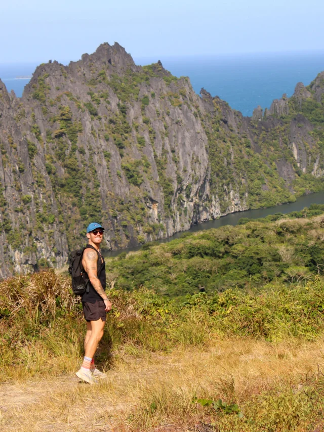 Ga Wivaek Pass Hike, Hienghène

